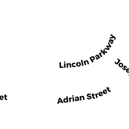
7R JOSEPH ST
Owner Information
VALLE PETER J & EMILIE P
7R JOSEPH ST
SOMERVILLE, MA 02143

Property Details
7R JOSEPH ST is classified as a Residential Condominium (Fam conv).
The primary structure on this property was built in 1900. There are 1,391ft2 of built area within this property. There is 952ft2 of residential/living space within this property. This property is listed as having 6 rooms.
7R JOSEPH ST is valued at $545,800. The land is valued at $0 and the structures are valued at $545,800.
This property is in Zone NR. Confirm with local Zoning Board authorities to ensure there are no overlays or other easements on this property.
The most recent deed for 7R JOSEPH ST is recorded at the local registrar in Book 65091, Page 20. 7R JOSEPH ST was last sold on Monday, March 23, 2015 for $1.
Assessment data from fiscal year 2021.
Flood Data
According to the FEMA National Flood Hazard Layer, this property does not appear to be in a flood zone. It may also be in an area not yet reviewed. Nonetheless, confirm this information prior to taking any action.
To view the flood hazards around this property, create a FEMA "Firmette" Map of the area around 7R JOSEPH ST.
Broadband Internet Providers
| Provider | Type | Bandwidth (mbps) | |
|---|---|---|---|
| VSAT Systems, LLC. | Satellite | 2 | 1 |
| HughesNet | Satellite | 25 | 3 |
| GCI Communication Corp. | Satellite | 0 | 0 |
| netBlazr Inc | Fixed Wireless | 50 | 50 |
| Starry, Inc. | Fixed Wireless | 200 | 200 |
| RCN | Cable | 1000 | 20 |
| RCN | Cable | 500 | 20 |
| Comcast | Cable | 1000 | 35 |
| Verizon New England Inc. | DSL | 5 | 0 |
| Viasat Inc | Satellite | 100 | 3 |
Broadband service provider data from December 2020.
Adjacent Properties
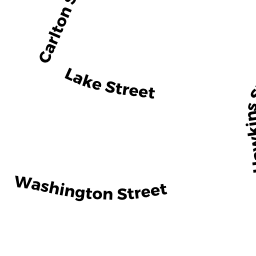
- 16 CLARK ST
Three-Family Residential owned by BELEUS MARIA & PIERRE - 12 CLARK ST
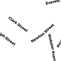
Three-Family Residential owned by VELOSO JOSE & ALZIRA G - 69 NEWTON ST
Apartments with Four to Eight Units owned by BRAGA JOSEPH P & MARIA G TRSTEES - 65 NEWTON ST
Three-Family Residential owned by AYLWARD BRIAN & SUN YONGMEI TRUSTEES - 9 JOSEPH ST #2
Residential Condominium owned by SMATHERS JR JOHN E - 9R JOSEPH ST #3
Residential Condominium owned by SCHWARTZ RACHEL T & BRIAN E - 9 JOSEPH ST
Other, Open Space owned by None - 9 JOSEPH ST #1
Residential Condominium owned by CORREIA JR ROBERT & BARKER KYLE L